
Predictive orbital intelligence
Translate raw multi-spectral light reflection into precise ground-truth metrics. Forecast supply chain disruptions and commodities yield anomalies before they manifest in traditional global markets.
Predictive yield forecasting
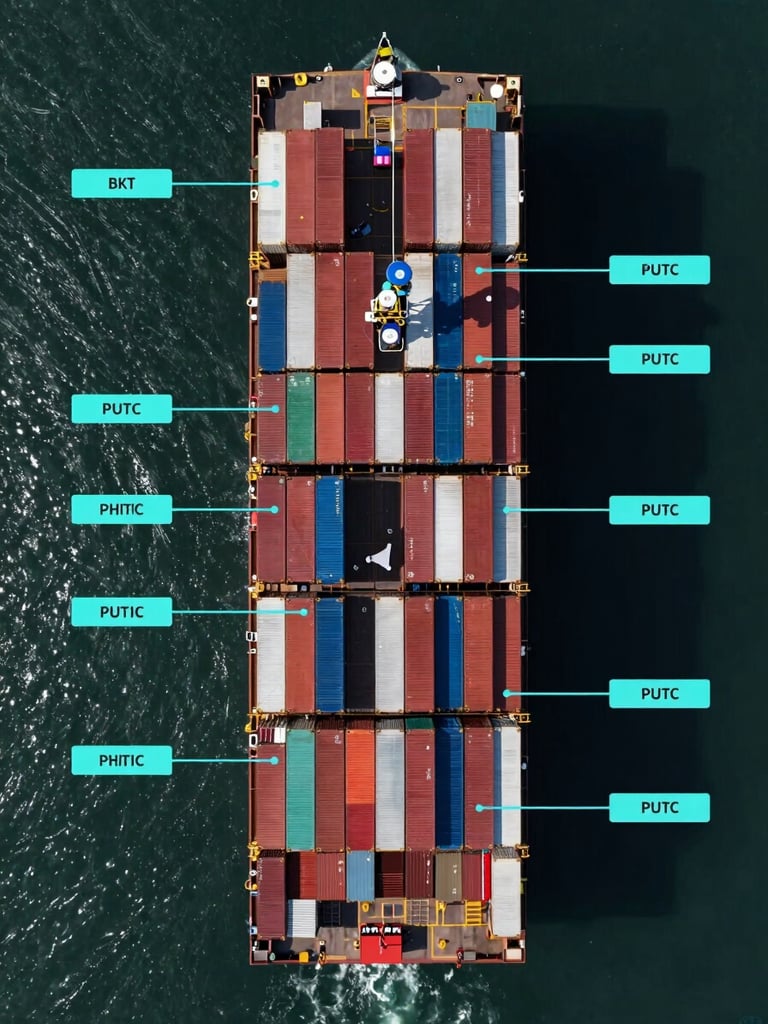
Our multi-tiered fleet of satellites and aircraft measures crop health and infrastructure integrity across entire continents at centimeter scale, delivering un-manipulated physical indicators.
Agricultural yield modeling
Asset degradation tracking
Extract temporal frequency data from multi-spectral signatures to calculate global crop volume projections weeks ahead of public reporting.
Monitor structural deformation and pipeline corridors using high-resolution radar interferometry to mitigate physical operational risk.

Quantitative data integration
Bypass intermediate dashboards. Stream raw spatial data arrays and annotated orthomosaics directly into your proprietary financial models via our secure, high-frequency API.
Direct API pipeline
We deliver standardized orthomosaics and multi-spectral arrays complete with comprehensive metadata. Your quantitative systems ingest raw physical ground-truth without translation lag.
Technical Specifications
Get sub-meter spatial resolution, daily temporal frequency, and fully orthorectified multi-spectral bands tailored for direct algorithmic ingestion.