
Scientific Ground Truth
We translate multi-spectral light reflection into precise, calibrated datasets. Our operations combine aerospace engineering with spatial analysis to deliver verifiable environmental and economic indicators.
Our Sensor Array
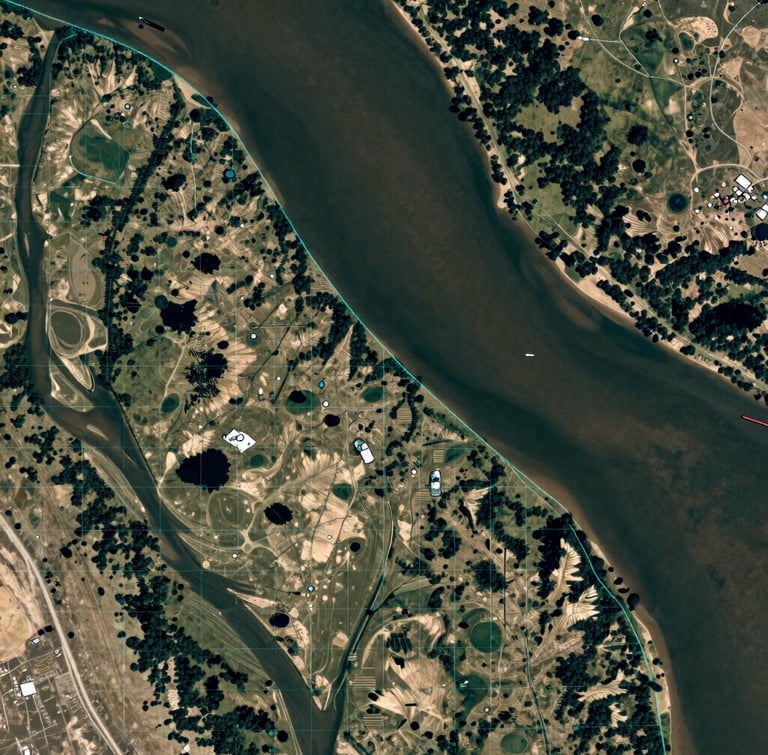
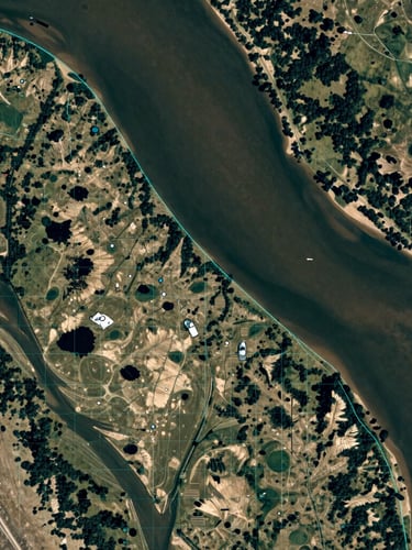
We capture spatial data across three distinct atmospheric tiers. By combining orbital frequency with tactical drone precision, we eliminate coverage gaps.
Orbital Satellites
High-Altitude Aircraft
Drones
Daily temporal frequency with multi-spectral sensors tracking continental change.
Sub-meter spatial resolution for targeted regional compliance and infrastructure monitoring.
Centimeter-level orthomosaic mapping for immediate ground-truth verification.
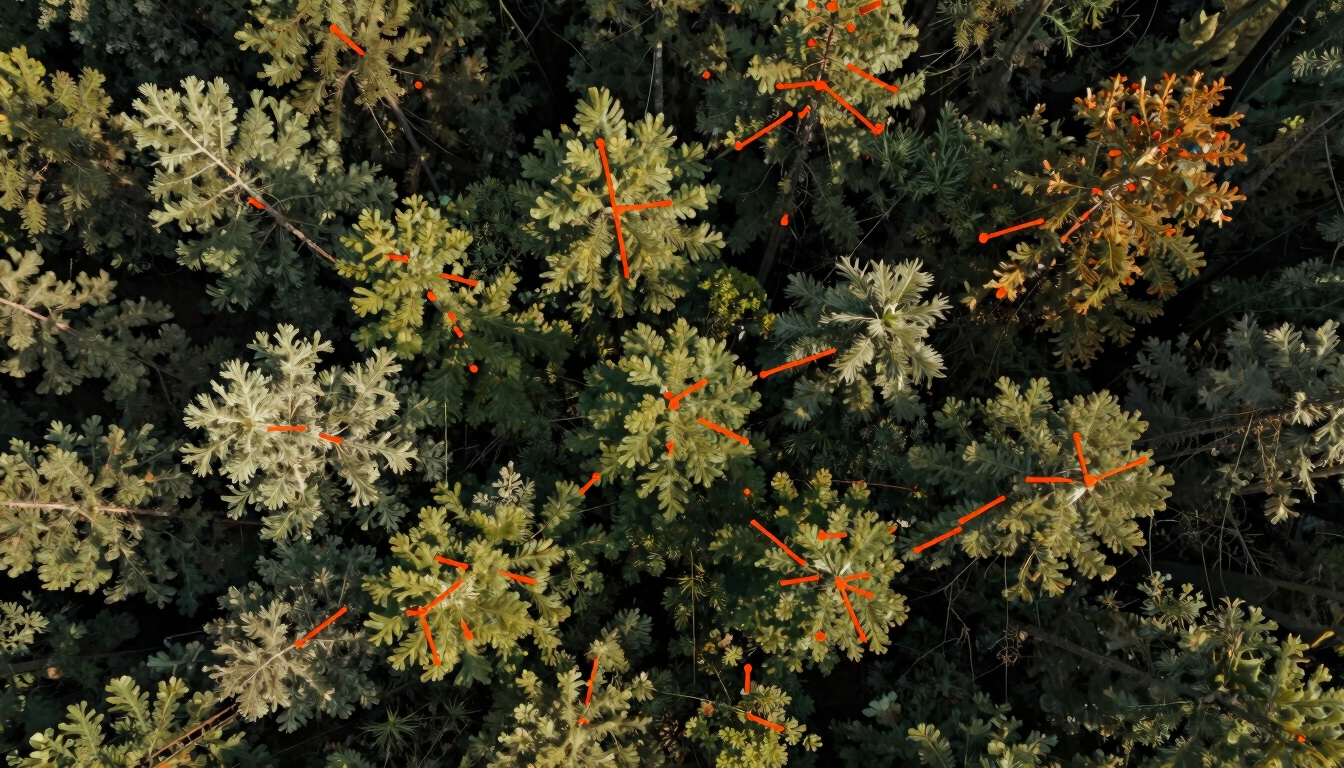
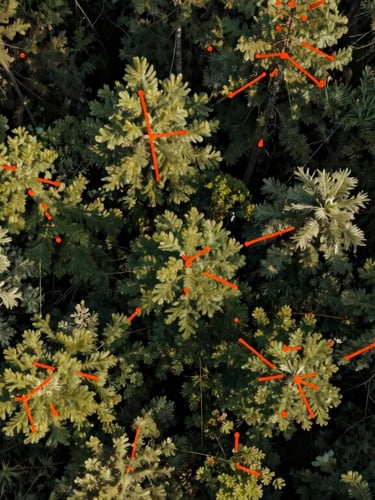
Mathematical Rigor
Every pixel undergoes radiometric calibration and geometric correction. We verify orbital observations against physical ground-truth measurements to ensure absolute data integrity.
Radiometric Accuracy
Geometric Precision
Empirical Validation
Sensor calibration matches peer-reviewed physical constants, ensuring consistent multi-spectral signatures across seasons.
Physical ground-truth sensors provide continuous baseline validation, eliminating atmospheric noise and sensor drift.
Orthomosaic processing delivers absolute spatial alignment down to centimeter-level tolerances for longitudinal tracking.
Request our complete calibration methodology paper or coordinate custom orbital tasking.