Dual-Track Spatial Analytics
We translate multi-spectral orbital data into verifiable ground truth. From micro-level habitat conservation to macro-level economic forecasting, our multi-tiered fleet delivers high-frequency spatial resolution.


Targeted Intelligence Streams
Select your operational pathway. We isolate specific spectral signatures to monitor ecological baselines or project global supply chain risks with mathematical rigor.
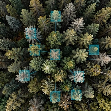
Environmental Monitoring
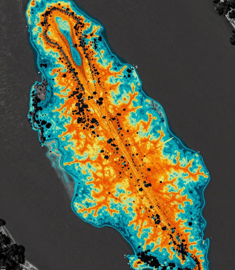
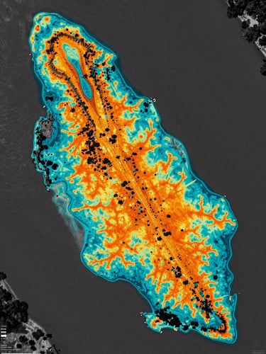
Verify carbon offsets, track canopy degradation, and ensure regulatory compliance. We deliver orthomosaic datasets and multi-spectral vegetation heatmaps at extreme spatial resolution.
Economic Forecasting
Predict supply chain disruptions and commodity yields. Our fundamental analysis translates raw light reflection from infrastructure and agricultural assets into quantitative risk indicators.
The Tasking Workflow
From orbital scheduling to localized drone flights, we coordinate a multi-tiered fleet to match your required temporal frequency and spatial resolution.
Sensor Tasking
Spectral Capture
Ground Verification
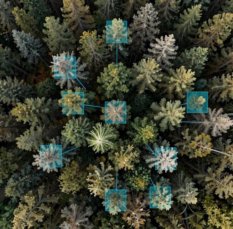
Our multi-tiered fleet records raw light reflection across multiple bands, capturing invisible indicators of soil moisture, canopy health, and structural integrity.
We configure orbital paths, high-altitude aircraft, or localized drone sweeps depending on the scale and temporal frequency your target coordinates demand.
We process raw orthomosaics through our spatial models, delivering annotated data arrays and predictive yield reports directly to your decision pipeline.