Ground-truth spatial verification
We translate raw multi-spectral light reflection into precise, centimeter-scale environmental monitoring and predictive economic indicators.
Precision remote sensing
Deploying multi-spectral orbital sensors and high-resolution drone orthomosaics to bridge the gap between ecological preservation and macro-level asset risk management.
Environmental Monitoring
Economic Intelligence
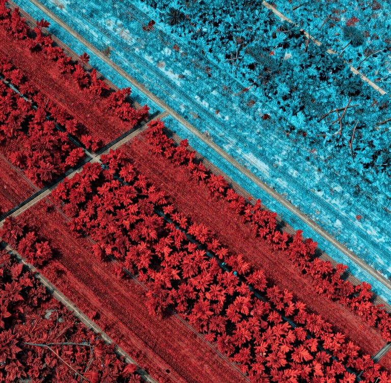
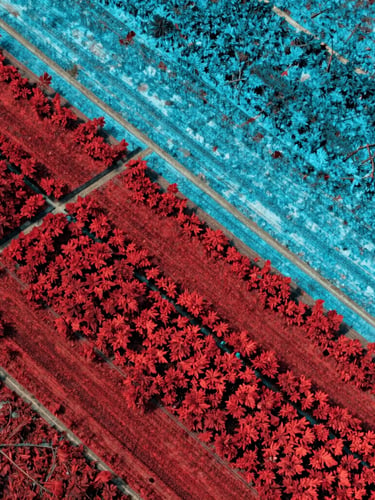
Verifiable carbon and habitat data. We map canopy health, soil moisture, and compliance anomalies using false-color vegetation heatmaps.
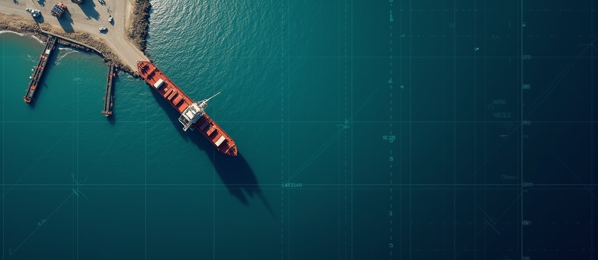
Predictive supply chain and infrastructure risk. We calculate agricultural yield models and track physical commodity assets globally.
Measured from orbit
Multi-spectral signature extraction
By capturing light wavelengths beyond human sight, our sensors detect early-stage canopy stress and infrastructure fatigue before physical degradation manifests on the ground.
0.3m / Pixel Resolution
Targeted drone and aircraft orthomosaics complement orbital datasets, providing centimeter-level ground-truth verification across complex terrain. This multi-tiered approach ensures absolute data fidelity.
Task our orbital fleet
Initiate custom sensor targeting or access our historical multi-spectral data archive. Our operations team will configure spatial resolution and temporal frequency to match your exact parameters.